


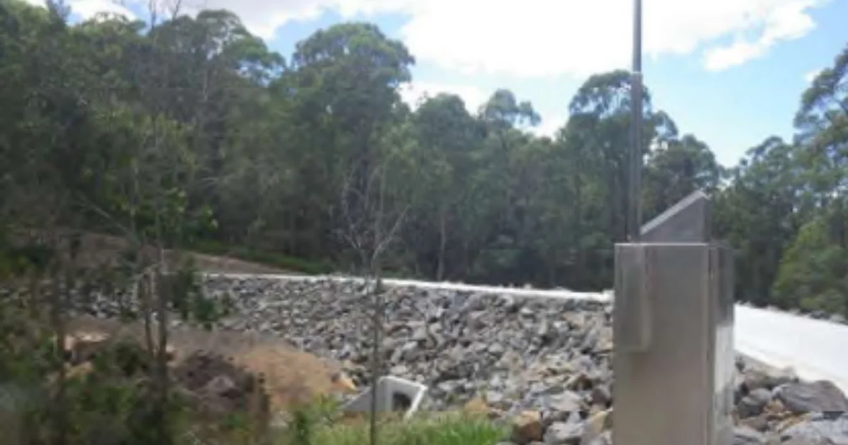
Tucked away near the slopes of Mount Coot-tha, the Gordon Road Detention Basin in Bardon is easy to overlook. It sits quietly within the suburb, easily missed by passing traffic. But Queensland law classifies it as something worth paying attention to: a referable dam.
Read: Bardon Flood Relief Drainage Upgrade Begins on Lorward Avenue
That’s not a term most people know off the top of their head, but it carries real weight. Under Queensland legislation, a dam is classified as referable if a failure impact assessment demonstrates there would be two or more people at risk downstream if the dam were to fail. Every referable dam is required to have an Emergency Action Plan that outlines how to manage the dam during an emergency, including inundation maps of potential downstream impact.

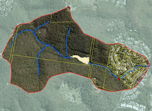
Brisbane City owns three referable dams: Forest Lake Dam in Forest Lake, the Gordon Road Detention Basin in Bardon, and Gubberley Creek Basin in Kenmore. Of those three, the Gordon Road basin sits squarely in one of Brisbane’s most densely settled inner-west communities, with parts of Bardon and the broader Ithaca Creek corridor, which includes Rosalie, lying downstream.
All dams in the Brisbane local government area are ungated, meaning water is not controlled through the operation of gates. They are designed to spill when water levels get too high, and in some circumstances a dam spill may result in downstream flooding, localised road closures, and in extreme situations, an uncontrolled release of water.

That last scenario is precisely what an EAP is designed to manage. In a dam-related emergency, everyone has a responsibility for their own safety. That is not bureaucratic boilerplate. It is a genuine reminder that emergency plans only work when the community they are designed to protect is actually aware of them.

A Suburb With a Long Memory for Flood Water
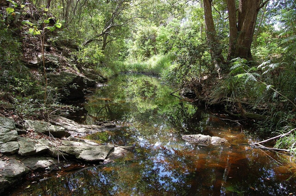
For Bardon and Rosalie residents, flood awareness is hardly a new concept. Ithaca Creek, which runs through the heart of the area, has a long history of inundation. Historical records show the Ithaca Creek area was considered swampy and flood-prone, and was frequently inundated throughout the twentieth century. More recently, the creek has continued to make its presence felt. During Cyclone Alfred in March 2025, Ithaca Creek at Bardon flooded and cut off roads, with locals noting they have become accustomed to flooding at the creek over recent years.
Flooding in the area is also set to become a more prominent issue on paper, not just in practice. Brisbane’s flood study of the Ithaca and Enoggera Creek catchments, incorporating climate change modelling, has resulted in more than 10,000 properties being added to flood overlay maps, with many of those in Bardon, Red Hill and surrounding suburbs.
Against that backdrop, questions remain about how well-informed downstream residents are about the dam upstream. Queensland law requires dam owners to inform people in the Population at Risk so they can be prepared and know what to do in a dam-related emergency.


A nearby situation in 2025 showed just how quickly a detention basin scenario can escalate. In March of that year, an emergency alert was issued for the Gubberley Creek Detention Basin in Kenmore, also a Brisbane City-owned referable dam, with residents advised to prepare to leave as a possible failure was flagged. The alert was later cancelled, but it served as a live reminder that these structures are not merely theoretical risk items on a planning document.
Read: The Streets of Bardon: How Time Reshaped Local Thoroughfares
For residents wanting to check whether their property falls within a downstream hazard zone for the Gordon Road basin, the EAP is listed as a public document on the Queensland Government’s dam safety website.
Published 31-March-2026