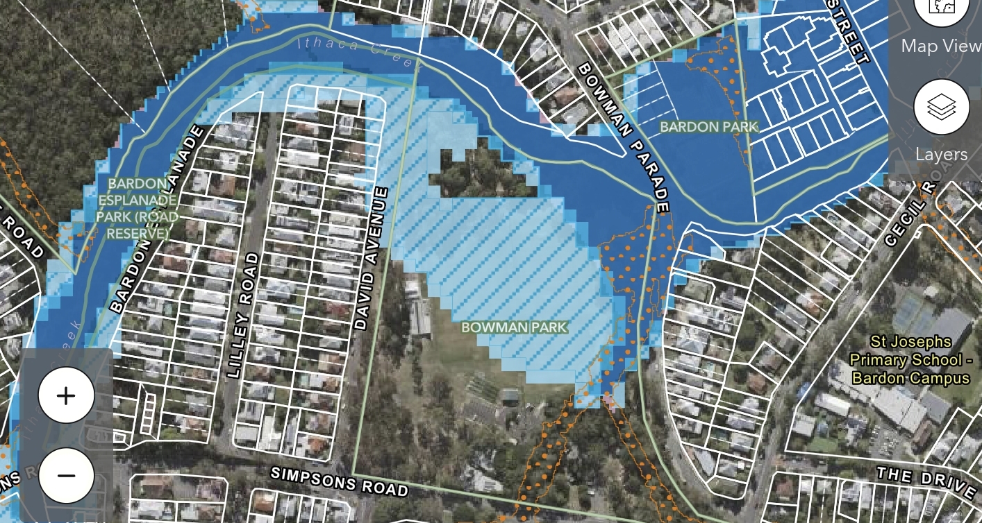




A public swimming bath once stood on Ithaca Creek near present-day Lugg Street in Bardon, but new historical research has found the facility survived for only weeks before floodwaters damaged it beyond recovery.
Research traced the baths to School Street, off Arthur Terrace, near Ithaca Creek State School. School Street was later renamed Lugg Street, placing the documented swimming site firmly within present-day Bardon.

A cheaper place to swim
Calls for public swimming facilities in the former Ithaca district had circulated since the late nineteenth century, but formal municipal baths were expensive.

In December 1901, Ithaca Creek State School head teacher Arthur Exley proposed a much cheaper alternative: deepen an existing waterhole below the school and add a dressing shed so children could learn to swim. The idea resurfaced in 1907 when Ithaca mayor George Sweetman identified a section of Ithaca Creek near the residence of William Trouton as suitable for public bathing.
Queensland Trustees, which owned the property, approved the proposal. Sweetman estimated the work would cost about £30 to £40, well below the cost of earlier plans for purpose-built baths.
Contemporary plans described baths measuring about 40 feet by 27 feet and roughly four feet deep.
Opened, then washed away
The baths opened on 18 January 1908 at School Street, off Arthur Terrace. Historical accounts describe a modified creek waterhole with water retained behind a wall. Council records show the facility was already being used within weeks of opening, with councillors discussing bathing arrangements in early February.

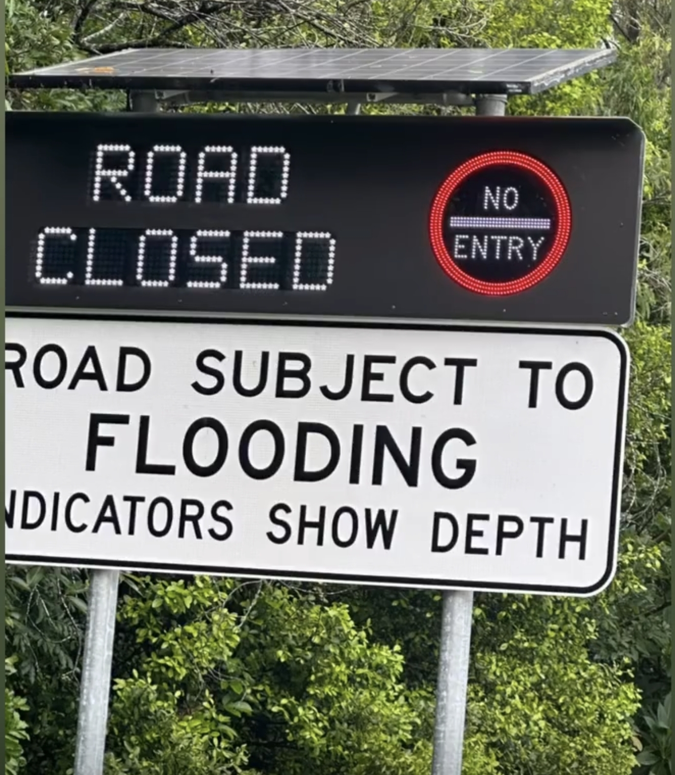
Flooding struck Ithaca Creek later that month. The water undermined the wall foundation and left major cracks in the structure. Contemporary reports warned that further flooding could destroy the damaged baths altogether.

The school committee later sought greater control of the swimming place and offered money towards reconstruction, but no lasting replacement followed. By 1910, council discussions referred to the baths as having been washed away.
The school eventually gained a permanent swimming pool decades later, after a long fundraising effort. Ithaca Creek State School records fundraising from the 1930s into the 1960s, while heritage material dates the pool to 1964.
School Street becomes Lugg Street
The former School Street is now Lugg Street, where Ithaca Creek State School remains. Brisbane City Council heritage records place the school at 49 Lugg Street and document its long association with the surrounding district.
The renamed street is one of the clearest surviving links between the modern Bardon landscape and the short-lived creek baths described in early council and newspaper records.
A photograph under question
A historic photograph held by the State Library of Queensland has long been identified as showing the Ithaca Creek swimming hole near School Street. It depicts a broad pool crowded with swimmers and spectators, with open land around the water.
Yet researcher Angus Veitch found that the surrounding landscape in the photograph appears less developed than maps suggest the School Street area was by 1908. Roads, subdivisions and nearby structures already existed, yet they are difficult to match with the scene shown in the image. The investigation did not establish a convincing alternative location.
Published 22-Sept-2026